 A basic part of owning property is knowing where the boundaries are. Without clear boundaries, arguments will arise, whether it is private property, commercial property, or land for drilling and mining. When there are conflicting views about boundary lines, landowners may need to commission a boundary survey.

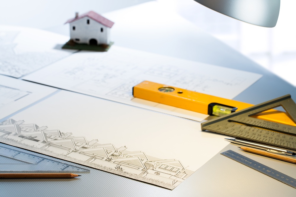
What Is a Boundary Survey?
A boundary survey is a way to formally define the boundaries of a property. It focuses largely on defining the corners of a parcel of land. People generally commission boundary surveys before buying, dividing, improving, or building on land. After a boundary survey is complete, a land surveyor will create a drawing. It is better to have a professional do the survey, as measurements need to be as exact as possible. The drawing can include:
- Lot dimensions. The dimensions of a lot come from deed, subdivision plats, and survey drawings. They show the exact lines of the property.
- You can choose to have a boundary survey include any improvements made on the land by previous owners. Improvements could include houses, sheds, garages, pools, and other permanent changes to the property.
- Fences are usually used as ways to let people know where your property is. However, they are rarely built directly on the property lines. Though fences can be included in the drawing, they should not be taken as the outlines of the property.
- The land surveyor can include easements on the drawing if they have a copy of the title commitment.
Cost of a Boundary Survey
The cost of a boundary survey is different for each project. It depends on various factors about the property as well as how the surveying firm charges. Some of the things that could affect the cost of a boundary survey include:
- The accessibility and ruggedness of the parcel of land you want surveyed
- The size of the parcel
- Seasonal variations in important features of the land such as
in leaf cover or ground markings - The shape and size of the surveyed parcel of land
- The reason you are commissioning the survey
Boundary Survey Process
The process of completing a boundary survey is meticulous. Defining boundaries is an important legal task that professionals take seriously. The general steps that go into a boundary survey are the following:
- Each corner of the property is located and verified or reestablished and reset if it is unclear where the corner is.
- The surveyor will put a marker at each corner. The marker is usually a rebar or iron pipe, standing around two feet tall to make it easy to see across the property.
- After the markers are placed, the surveyor will also spray paint the corners with pink paint to further ensure clear visibility.
- Surveyors may also put down wooden stakes or flags near the corners with labels to help them locate the property corners.
- The person who commissioned the survey can choose whether they want improvements such as homes, buildings, sheds, pools, fences, or other permanent structures to be shown on the boundary drawing.
- The surveyor will take note of all potential encroachments.
The drawing of the boundaries is a legally binding document. The surveyors must comply with state rules and regulations about defining property lines and detailing parcels of land.
Components of a Boundary Survey
There are necessary components that go into a boundary survey, and specific steps for completing the actual survey.
- The first significant component of a boundary survey is registry research. A successful survey needs information about deeds, so the surveyor will do extensive research in the county registry of deeds. Effective boundary surveys also need private and public research, which can fill in a lot of the information that the registry of deeds could not provide. Private and public research can come from a variety of sources, including municipal offices, other land surveyors, historical societies, state agencies, information from owner of abutting land, and the county commissioner’s office.
- After the research is complete, the surveyor must prepare for the deed sketch. The surveyor will create a worksheet that identifies record calls along each boundary line. Many boundary lines have several different distances or calls over a long time, which is why the research is such an important part of a boundary survey. It is ideal if the research can work with the original deed, as it is often the best way to show the intentions of the original grantor for the property.
- The largest component of a boundary survey is the field reconnaissance. During the fieldwork, the surveyor explores the property and marks the corners, gathering all the information needed to complete the drawing.
- After the field reconnaissance, the surveyor needs to enter and analyze the data. It is reviewed, validated, and the mathematical accuracy verified. During the data entry and analysis component of the survey process, the surveyor determines acreage, encroachments, corner locations, easements, rights of way, and various other aspects.
- The completion of the data entry and analysis marks the stage where the surveyor can begin preparing the final plan, which contains the results of all final findings and recommendations. It is generally prepared to a standard that would allow other land surveyors to verify the findings. The plan is a legal document that is insured and prepared in compliance with the requirements of the state Board of Licensure.
- The final component is a visit back to the site of the property. The surveyor needs to mark the property corners and lines clearly for the property owners. The markings also serve as a sign to people that the land has been officially surveyed.
Potential Complications of an Unreliable Survey
A poorly conducted survey can have serious consequences for the project. A boundary survey is a legal document, so it must be done carefully. If your neighborhood or property experienced a poor boundary survey the consequences could include:
- Adjacent landowners disputing boundaries
- Potential royalties lost for development of gas and oil
- Violation of local codes concerning building or improvement of the parcel
- Potential title defects deeds and transfer of ownership