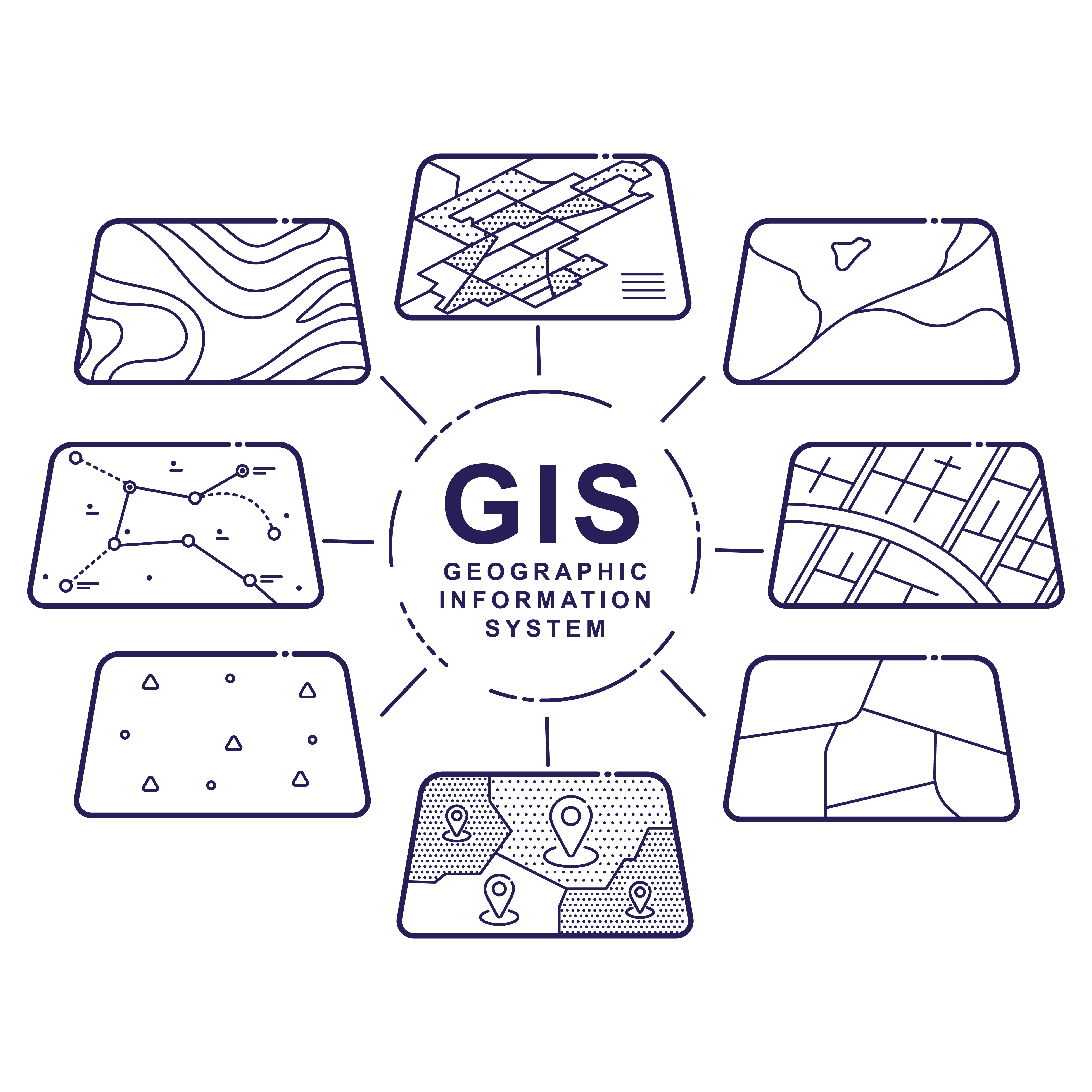
 A geographic information system (GIS) joins hardware, software and information together to capture, manage, analyze and present various kinds of puzzling information. You can solve problems by viewing the data and processing the answers to share with other people. GIS technology gives some “depth of character” to trends by presenting answers in the form of maps, globes, reports and charts.
Best Uses
The GIS allows us to look at the world around us in a new and different way. Using GIS, we can map the locations around us and show the density of those surroundings, especially if a change is in progress. It is possible to put a sheet of mylar above an older mapping sheet and apply a new GIS sheet as an overlay to observe the changes.
Comparisons are easy to do using a geographic information system. If knowing what is inside a formation is important, then comparing two GIS images of an outside can render clues as to density and configuration of the potential inside. Also, mapping formations that are nearby is helpful in determining the makeup of a questionable item.
Applications and Specialists
Think of the possibilities for mapping:
• Making an feature easy to find
• Patterns can emerge
• Find large, small or independent quantities of objects
• Shows concentrations of anything and the locations
• Help anticipate and plan for future actions or policies
Geographic Information System Specialists must be able to work with software programs, which help create and maintain data including maps that relate to the accumulation of that data. These specialists must have the skills to identify and store data by type:
• Socioeconomic
• Demographics
• Administration
• Political boundaries
• Land cover and use
• Environmental impacts
• Transportation networks
• Municipal infrastructure
Educational experiences should focus on Geography as well as Written, Oral and Cartographic Communications, Analytical abilities, Mathematics, Research skills, Computer sciences and System evaluations. All of this knowledge acquisition will pay off in the future as GIS Specialists work in well lit, clean and ventilation enhancements. They have their own spaces with computer equipment and mapping equipment – alternating with field trips to collect data.
Using the Geographic Approach
The science of the world is “geography” and using knowledge of geography can help us to understand our earth and the outcomes of many human activities. This is The Geographic Approach, which is bringing the thought process and problem-solving skills together resulting in a new understanding of how to manage our planet responsibly.
A new knowledge reserve is possible by measuring the earth and filing this data systematically. This makes analysis and model-building easy to match and form logical, simple relationships. We can use this knowledge and our new information and apply it to designing, planning and changing our world.
Use of Layering
Most information links to a place, which gives it a spatial (geographic) component. Decision-makers can use this technological for siting new buildings, designing hiking or biking trails, directing emergency evacuation routes or reconfiguring political districts. GIS technology makes it easy to do all those things … and more.
Each layer has a distinct element to it. One layer might show street maps and another overlay will show foliage, grasslands and forest areas. The third layer could place structures and, finally, landmarks and/or signage.
Making Changes
Geographic Information Systems (GIS) are computer database collections that allow for storage and data analysis combining apparently disparate information into maps that are easily understand. However, those maps are more than just maps. GIS can do complex analytical functions and produce maps, tables or graphs to aid the decision-makers.
The specialists can virtually see issues and select the best solution. Add the internet to this technology and this gives a consistent, inexpensive way to share and analyze geographic information between government departments, private industry, non-profit organizations as well as the public.
Interested in learning more about GIS? Take a look at our educational webinar about CourthouseDirect's GIS tool today.