Land surveying technology circa 3,000 years ago until the late 20th century:
- Body Parts (e.g. feet, fingers)
- Sticks/Rope
- Chains/Steel Bands
- Tape Measures
- Logarithmic Tables
- Slide Rules/Calculators
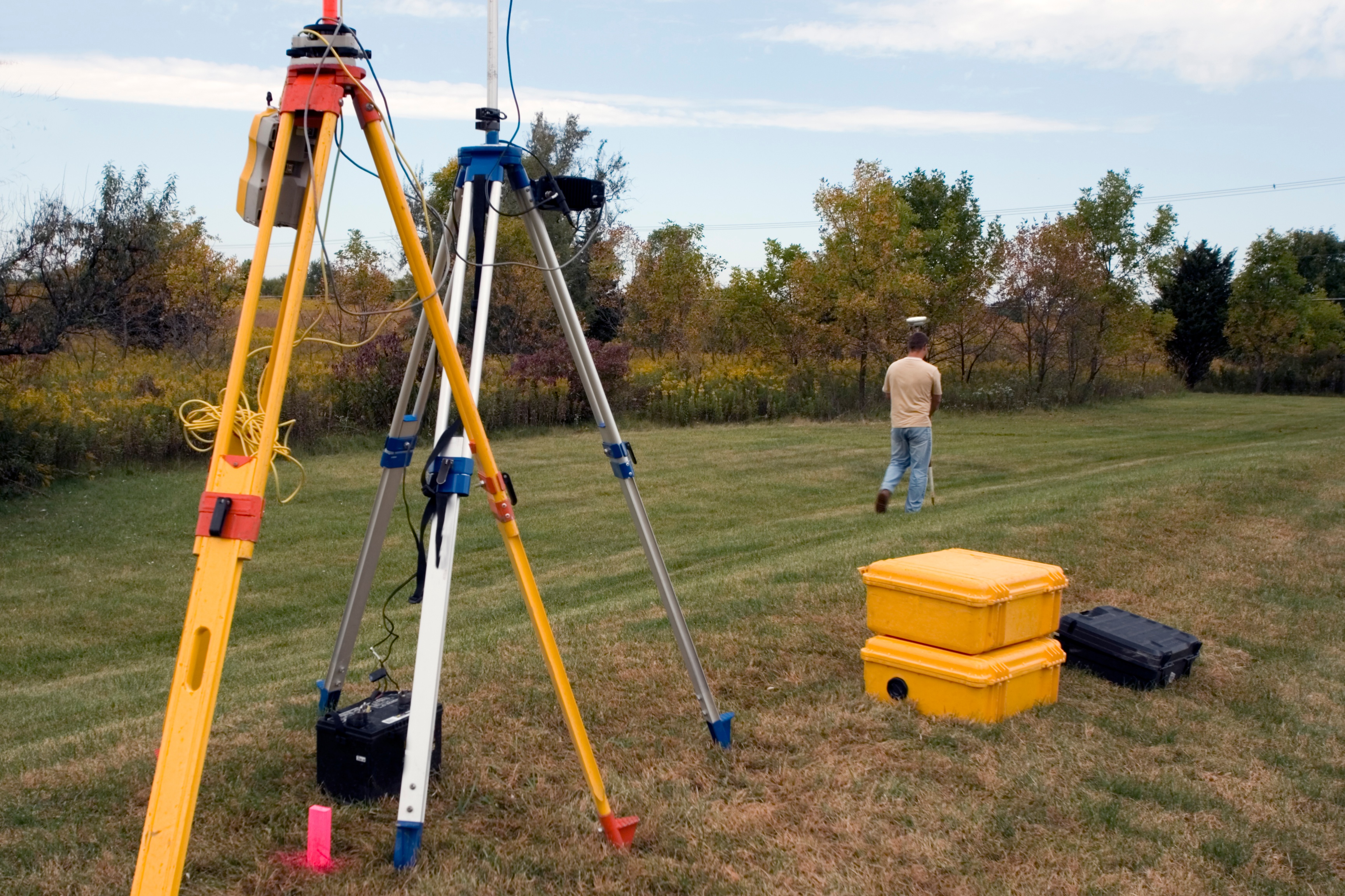
Land surveying technology today:
- Total Stations: Electronically calculates distance down to the centimeter at a range of hundreds of meters.
- Satellite Positioning Systems: Measures features or points anywhere on the globe from space and can be used to control large infrastructure projects.
- GIS Software: Captures and analyzes data to create digital area maps.
- 3D Laser Scanners/LIDAR (LIght Detection And Ranging): Interprets the shape of the land or buildings using clouds of data points impacting both aerial and terrestrial mapping practices. Used for accurately visualizing land, in atmospheric analysis, volumetric determinations, and analysis of material composition.
- TMLS (Terrestrial Mobile LIDAR Scanning): Collects survey grade data at highway speed gathering much more data for the same surveying cost.
It’s all come a long way in a relatively short time; thanks to the microchip and computerization, land surveying has become more precise and accurate, not to mention faster and easier. Like pixels in computer images, the more data points used, the clearer the picture. Not only that, but actual images can be created and shared with anyone who needs to see what the land looks like.
These same technological advances have also improved meteorology, forestry, natural resource management, and vehicle speed management. New applications continue to come to market to enhance data acquisition and analysis for use with these technologies, helping people like architects plan projects that match the land better and commercial foresters plan plantings and harvests that best serve the overall environment.
What does this mean to today’s land surveyor? It means keeping up with current technology and learning new tools. Those who do will be prepared for a wider range of occupations and industries. These technologies also make the practice of surveying safer as well as quicker. No more blocking off lanes or standing in traffic with a theodolite hoping there won’t be any casualties today.
As this technology has come into the mainstream, it has been embraced by companies who do work for numerous government and non-government agencies such as assessor’s offices, the county clerk, transportation, law enforcement, and county health. Far from just creating topographical maps or rough outlines for building, land survey has become a multipurpose practice that touches many more industries and with better results.
From surveying buildings and cities to mapping West Nile Virus outbreaks, modern technology gives talented surveyors the means to pitch in more places than ever before with much needed practical information.